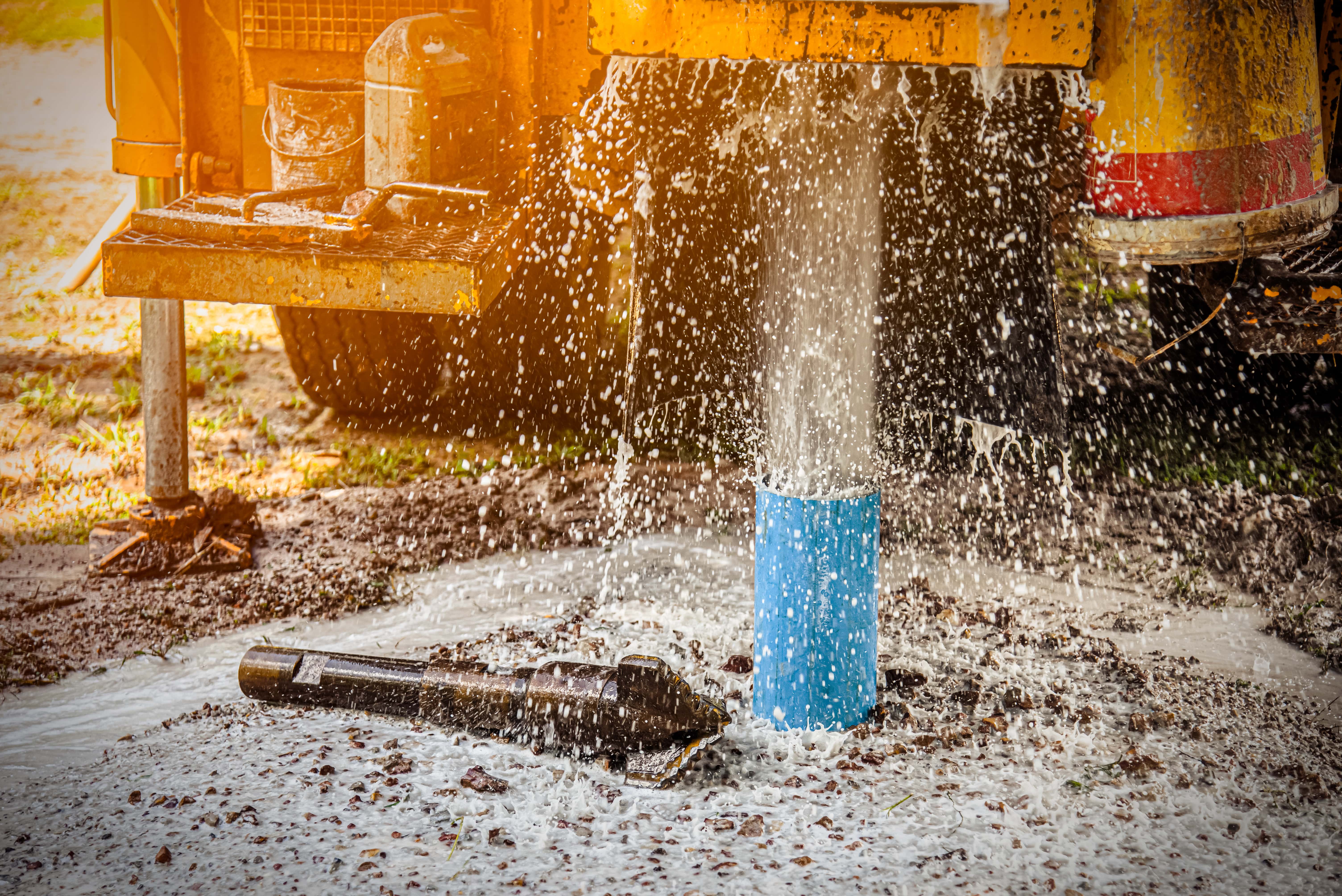
Spill & Flood Mapping
Using modern geotechnical and topography techniques we can create a spill model for your site to determine where the key pollution risk are. This information is then used to develop a 3D animated model that shows how an event would play out and forms the underpinning basis of our pollution containment design.
Talk to us